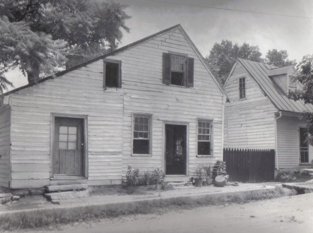
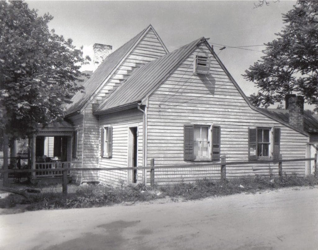
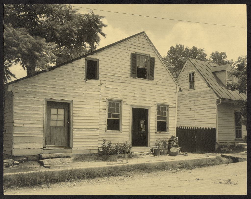
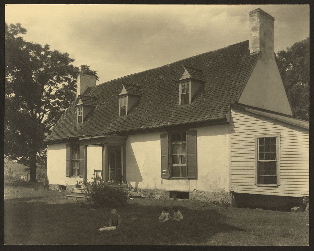
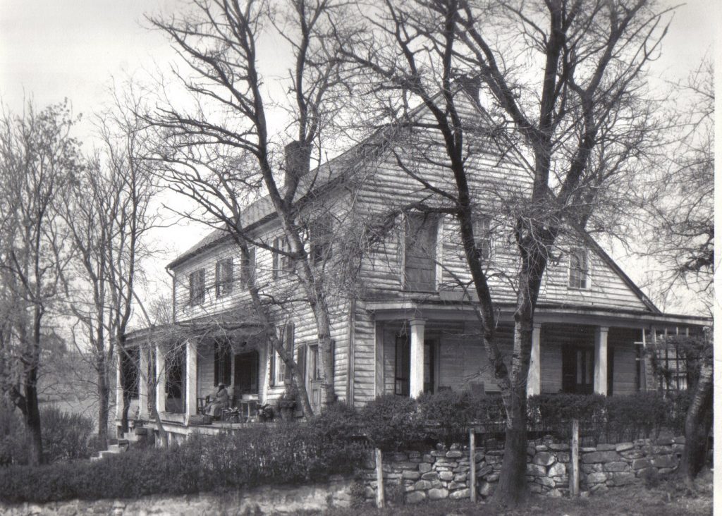
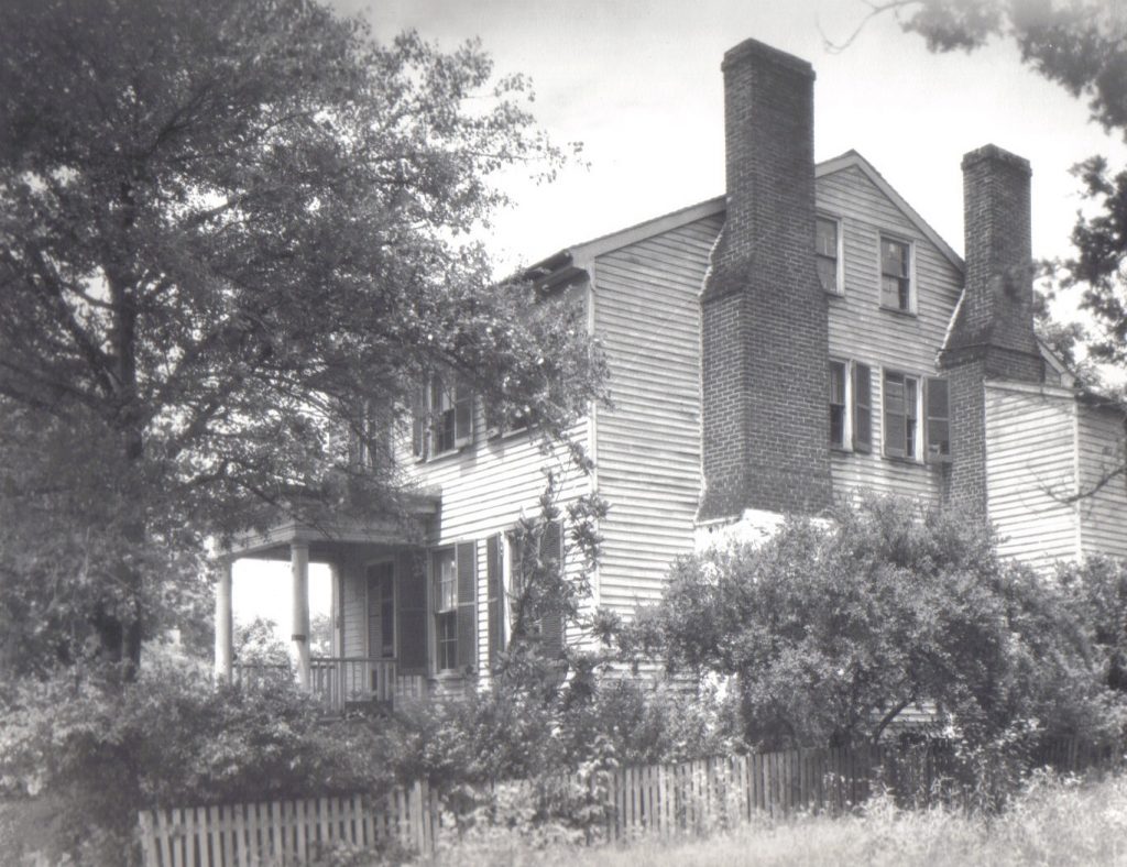
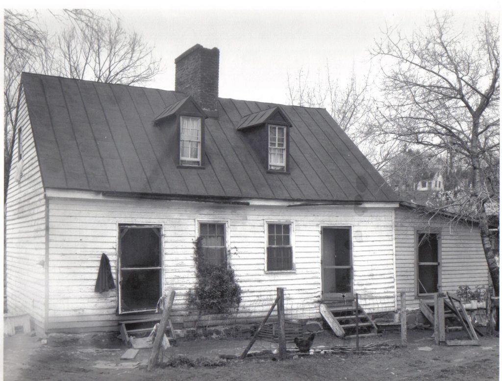
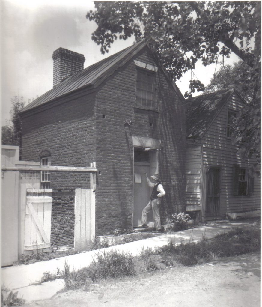
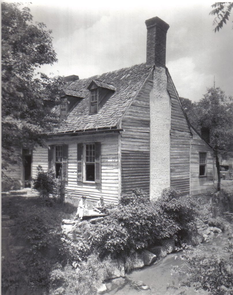
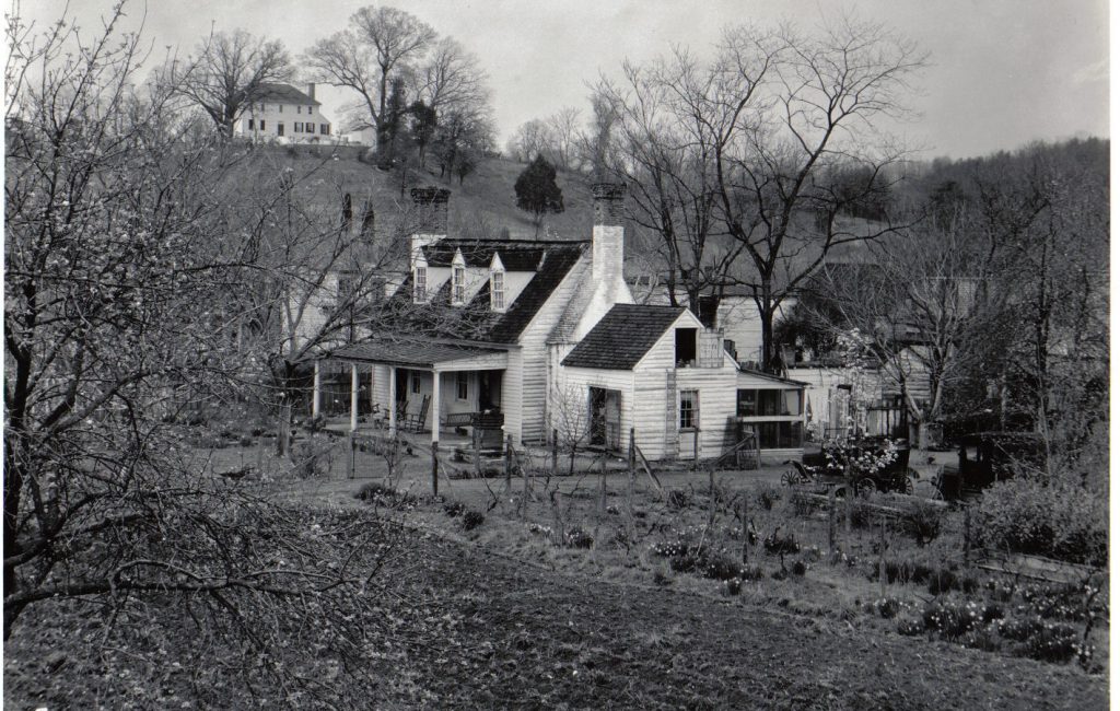
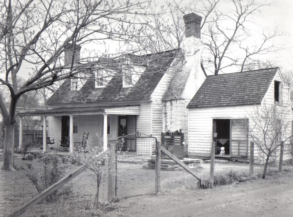
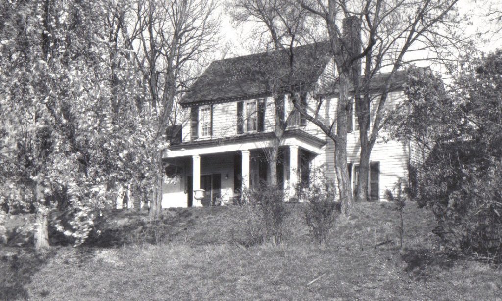
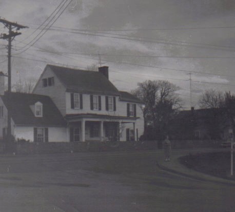
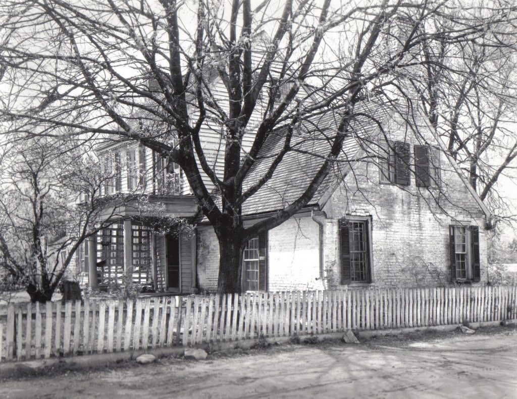
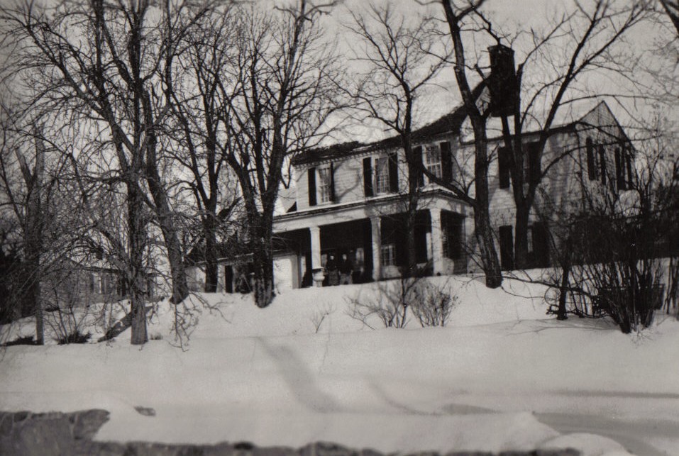
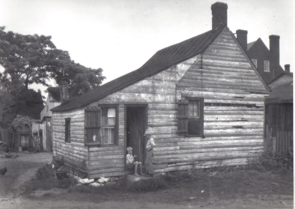
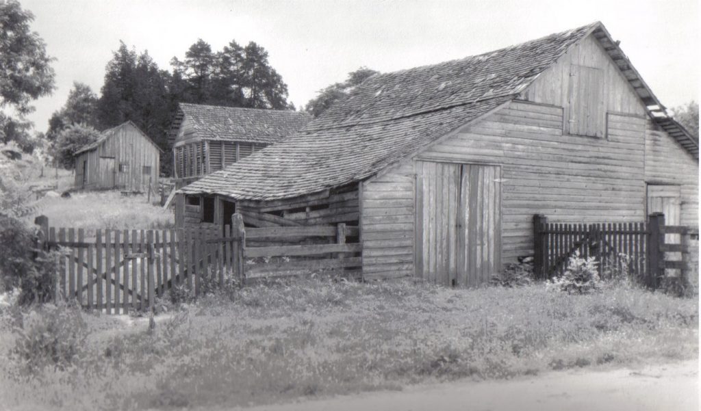
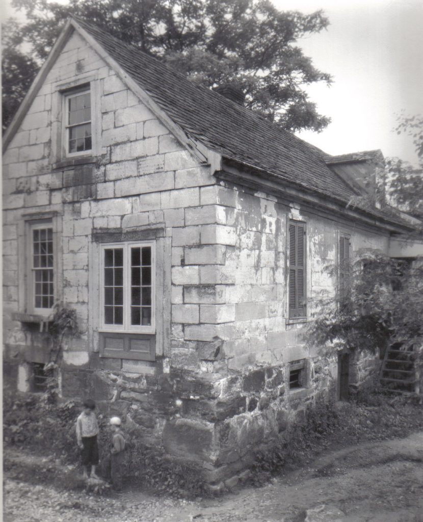
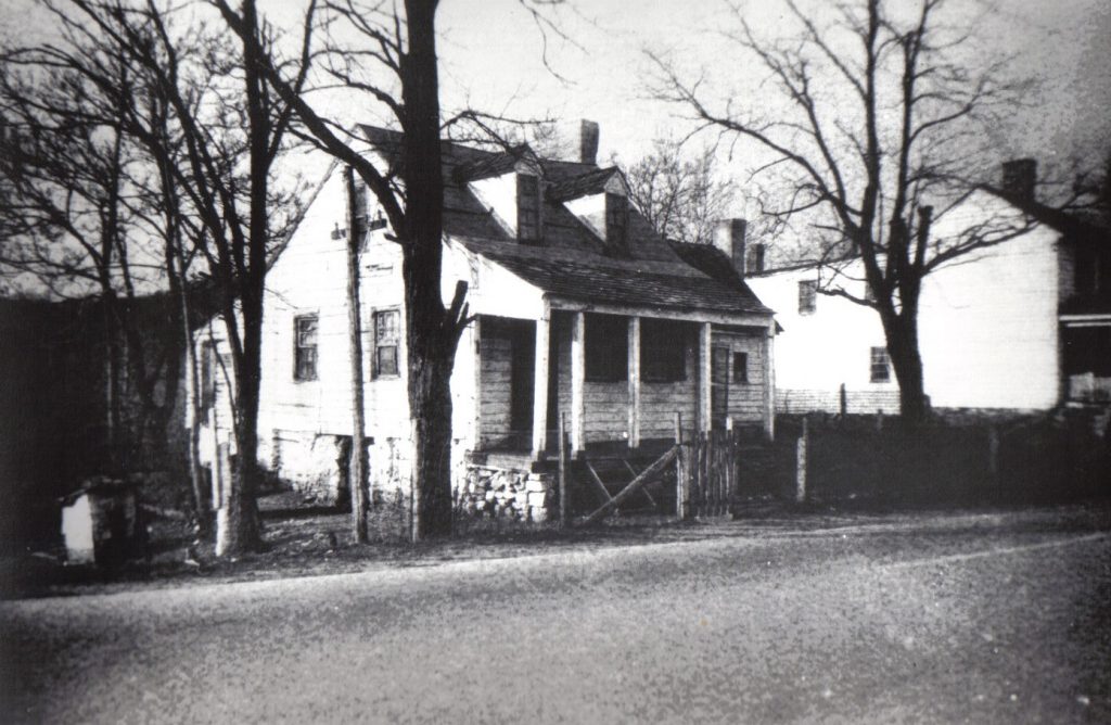
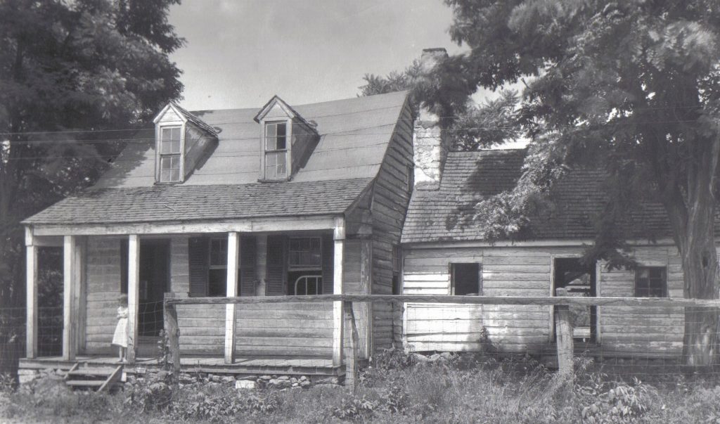
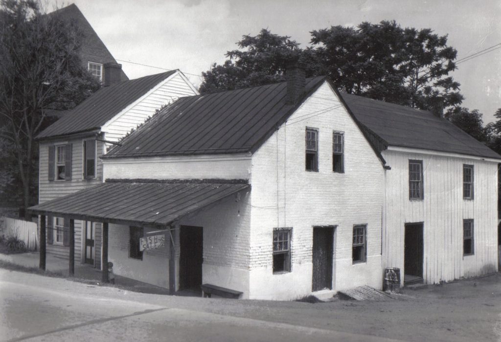
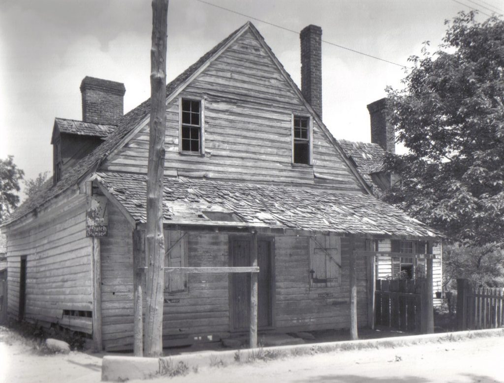
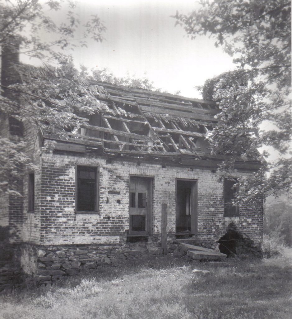
Apothecary, Falmouth c. 1930Austin Boutchyard House, Falmouth US1, c.1930Forbes House, FalmouthFalls cottage, FalmouthBrooks House (Cotton Warehouse), c.1930Gordon Gray Law Ofc (The Manor), Falmouth c. 1930Payne House, Falmouth c. 1930Customs House, Falmouth c.1930DeShields House, Falmouth c. 1930Dunbar Quarters and Carlton c. 1920Dunbar Quarters, Falmouth c. 1930Gordon Green Terrace (Saml. Gordon) c.1930Gordon Green Terrace (Saml Gordon), Falmouth, 1961Gordon Green Terrace c. 1930Gordon Green Terrace winter pre-US1Jennie Bryant’s House, Falmouth c. 1930Jett Barn, Falmouth c.1930Stowe House, Falmouth c. 1930Eddie Young House, Falmouth c.1930Eddie Young House, Falmouth c. 1930Falmouth House and Market c.1930Frank Hill Store, Falmouth c. 1930Poss Basil Keiger House Ruin c.1930
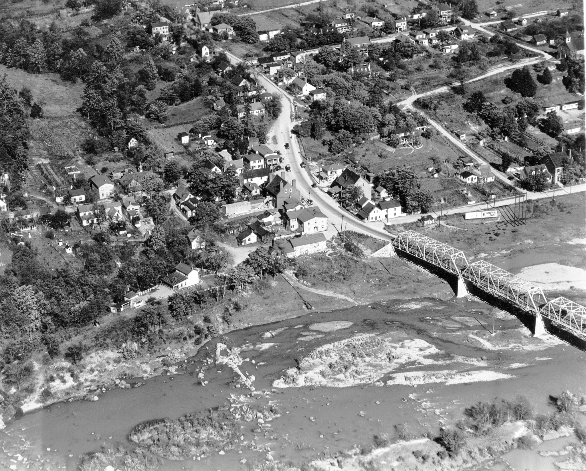
1927 Aerial Photo of Falmouth
This aerial view of Falmouth offers a glimpse of the historic town adjusting to the rising popularity of the automobile. The year is 1927. Familiar landmarks frame a grid of narrow streets, but movement and change abound. Motorists travel along Cambridge Street, the main north-south artery, and across the steel truss Falmouth Bridge (1923), both important links in the recently opened Richmond-Washington Highway, formally known as Jefferson Davis Highway. The critical thoroughfare, by now designated as U.S. Route 1, links not only the two capitals but also distant points north and south.
At N. N. Berry’s store at the corner of Cambridge and Washington, visibly the busiest corner in town, locals gather to shop or socialize, their automobiles crowding the corner where horse-drawn conveyances once prevailed. Meanwhile, at the center of the view, a lone horse and buggy, a vestige of a waning way of life, pauses in front of the imposing brick commercial house on lower Cambridge (present-day Amy’s Café), arguably the most prominent building in Falmouth Bottom.
Even there, accommodation for motorists underscores the rising trend. By this time, restaurateur Thomas Morris is leasing the building’s lower level for his Falmouth Café and offering patrons curb service. That amenity would become so popular that Morris soon rebranded the place the Falmouth Curb Service, but locals would come to know it as “The Curb.”
In years to come, the pressing demands of motorists would exceed the old town’s capacity for accommodation. By the 1940s, rising traffic volume and recurring flooding from the Rappahannock would lead the state to realign U.S. Route 1 and Route 17 and to construct a new bridge over the river and above Falmouth Bottom.
This photograph, originally part of an aerial survey of Virginia by the State Commission on Conservation and Development, is from the Virginia Chamber of Commerce Collection at the Library of Virginia. The handwritten label reads: “Gordon store, Falmouth, Va.”
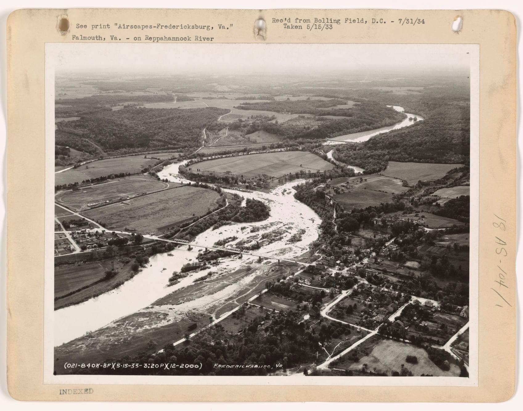
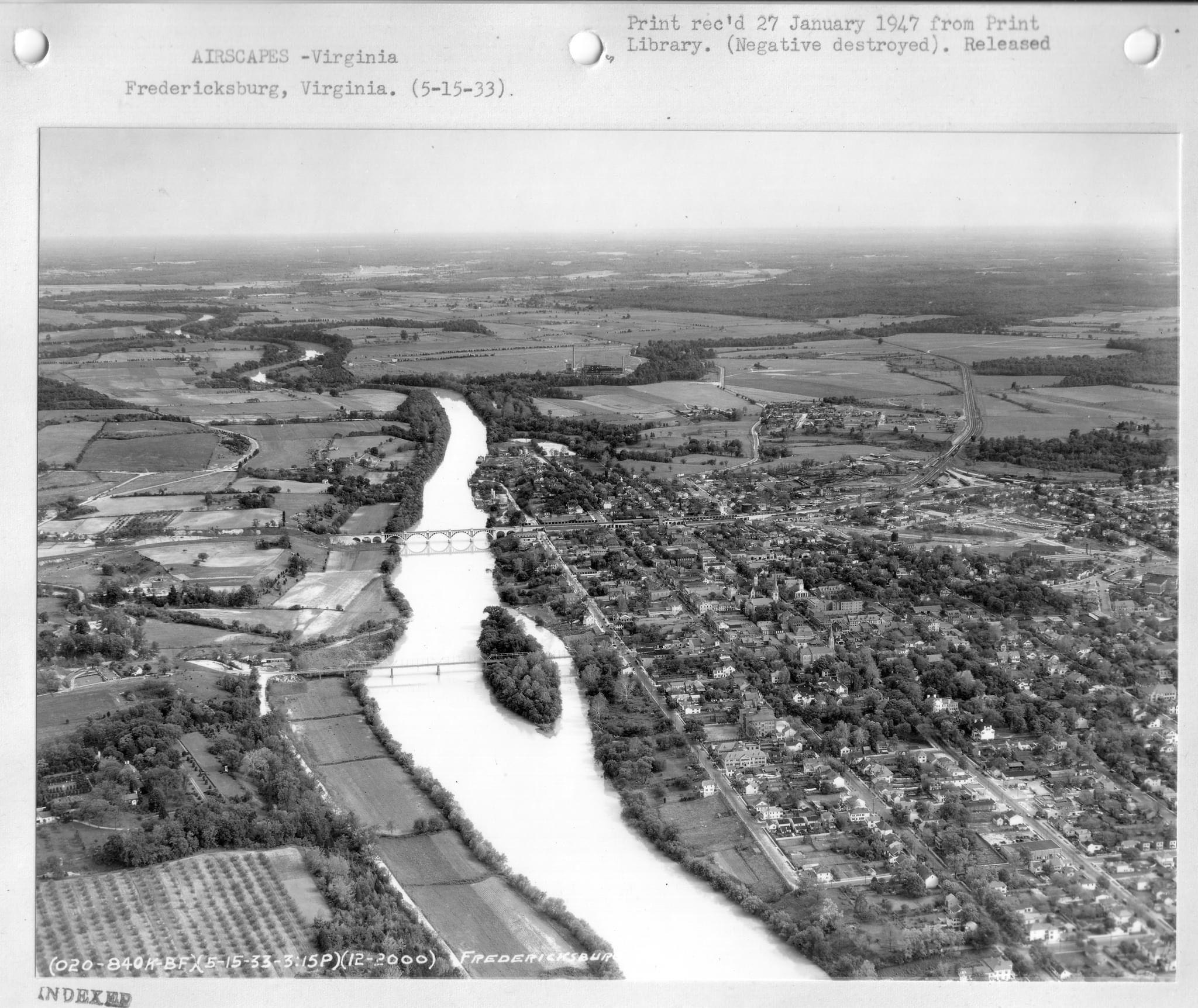
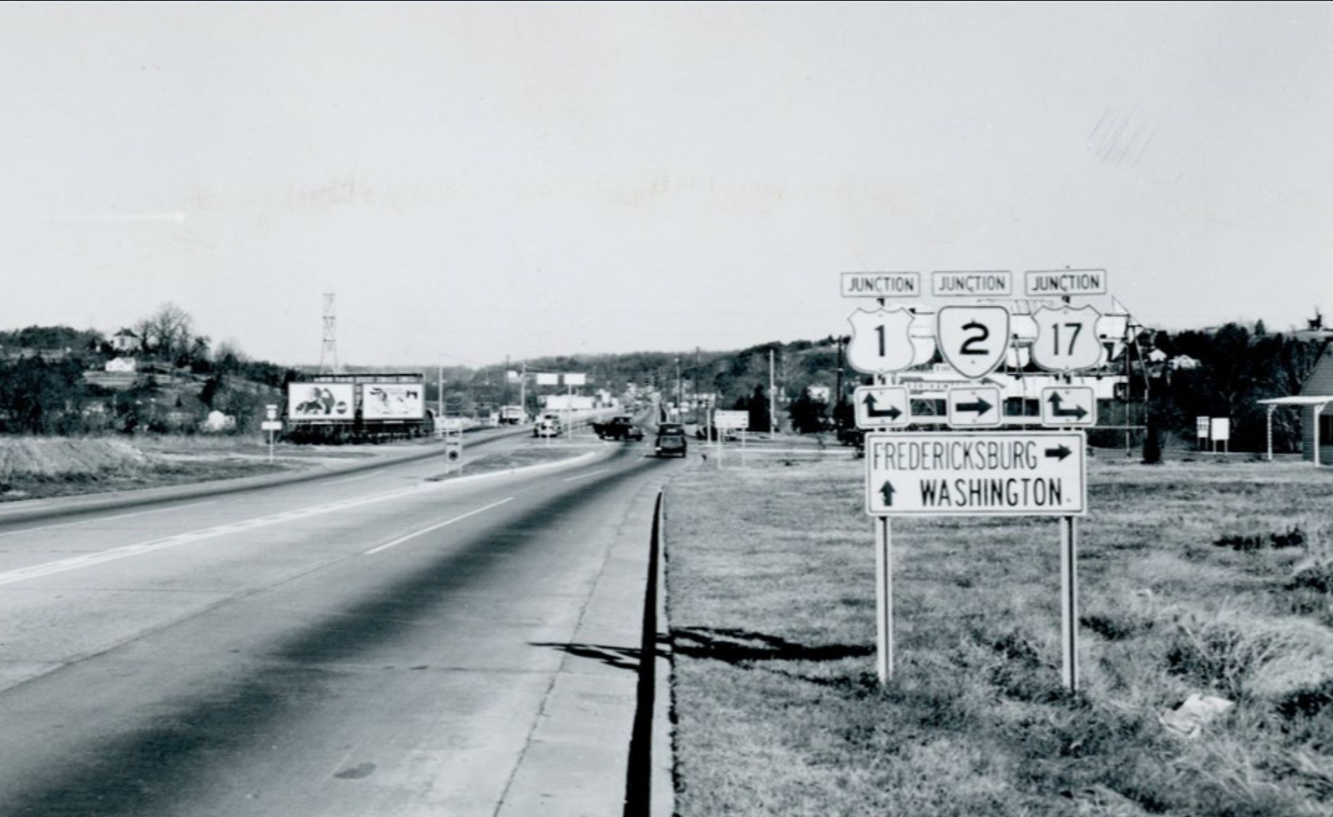
1934 aerial view of Falmouth. Route 1 and the Falmouth bridge and the town of Falmouth can be seen in the bottom right area.1933 view taken 5-15-33 (3:15pm) by U.S. Army aerial reconnaissance plane. Chatham bridge with Chatham can be seen on the lower left.Falmouth (1949) Route 1 Intersection.
Image above is the Rt. 1 by-pass heading north from the Falmouth Bridge in 1949. The Carleton Estate can be seen on the hill above Falmouth at the left center of the photo. The by-pass had only been open a couple of years but the road was already heavily stained by the oil burning vehicles of the day.